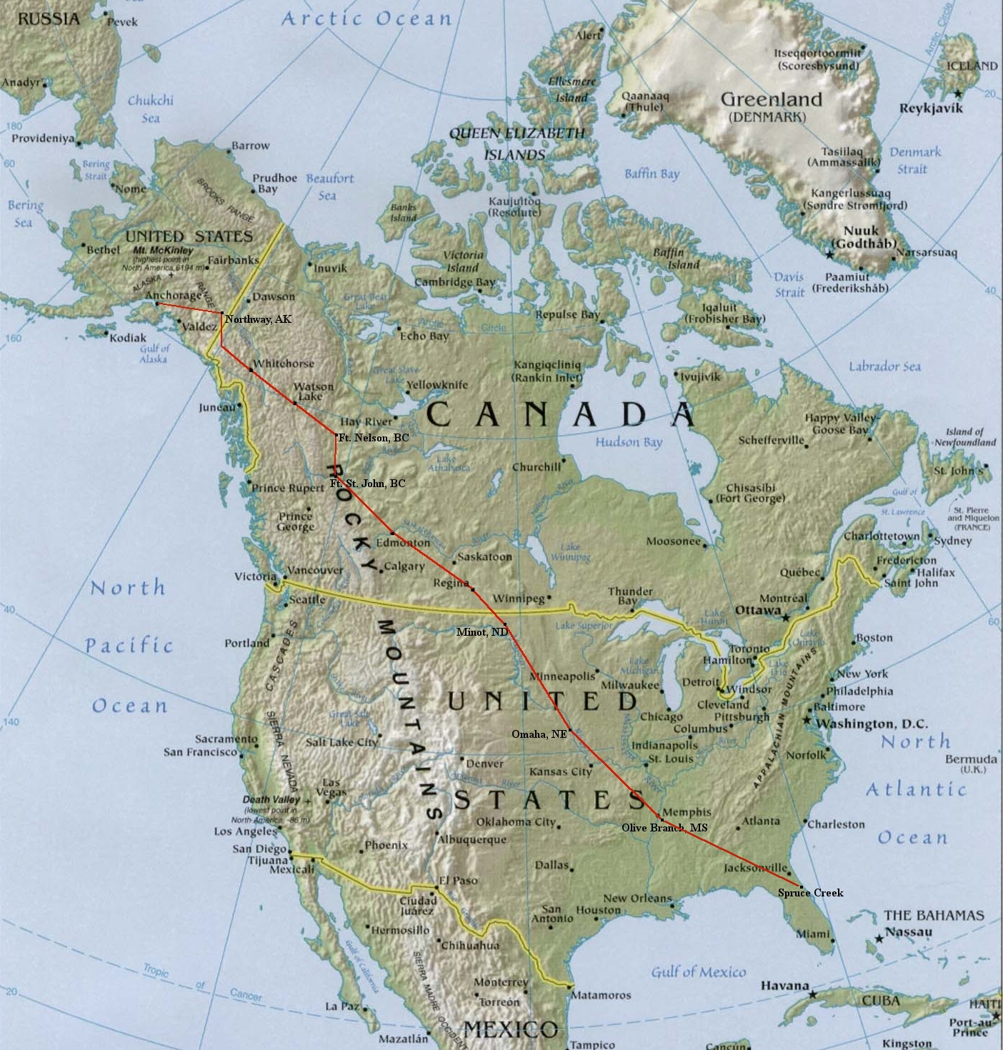
2011 Experimental Airplane - N727RH Updated August 7, 2011 WARNING: Proper flight planning and preparation is required for all flights to and in Alaska. Attempting to fly this route or duplicate this trip would obviously be AT YOUR OWN RISK.
|
|
Photos
Flight from Florida to Alaska - May 16-18, 2011
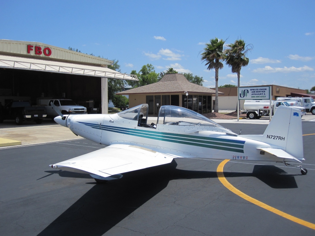 Spruce Creek, FL |
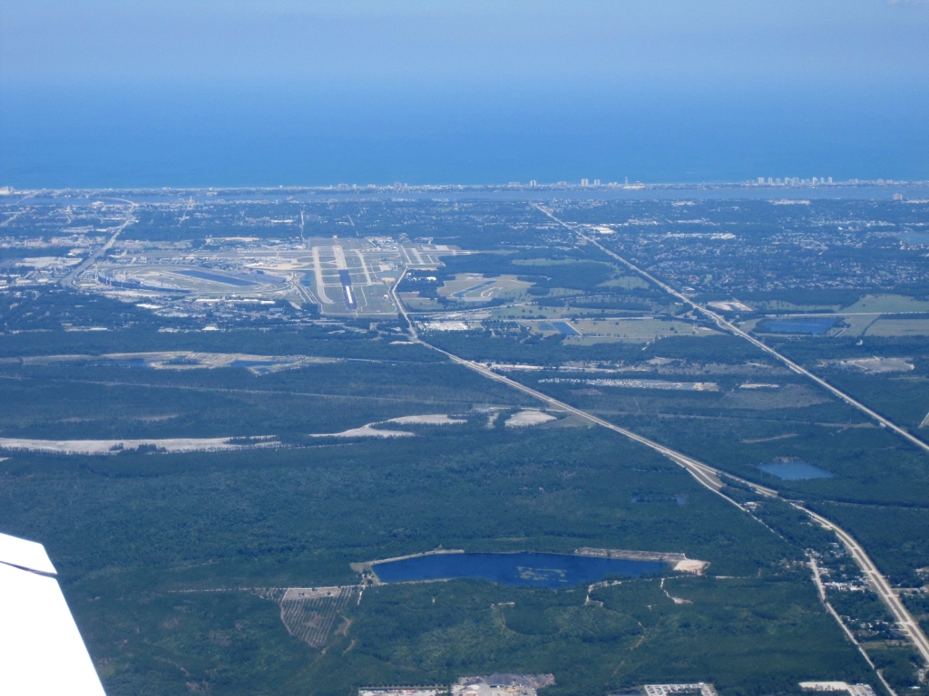 Daytona Beach, FL |
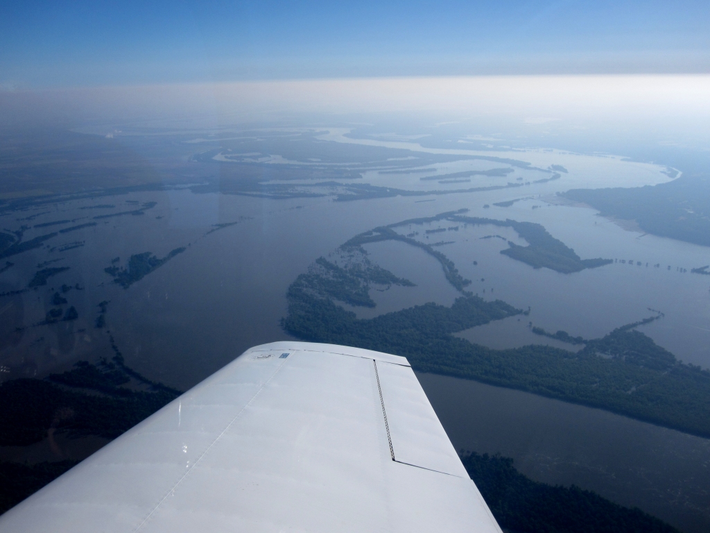 Flooding of the Mississippi River northwest of Memphis |
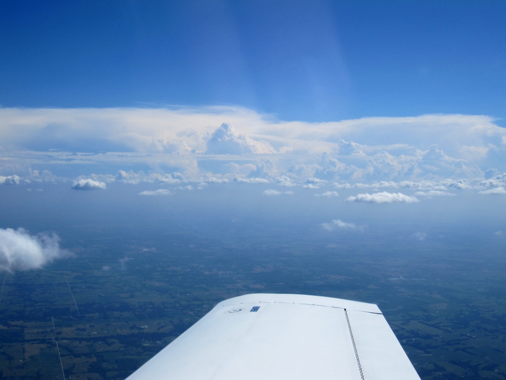
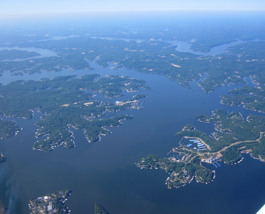 Lake of the Ozarks, MO |
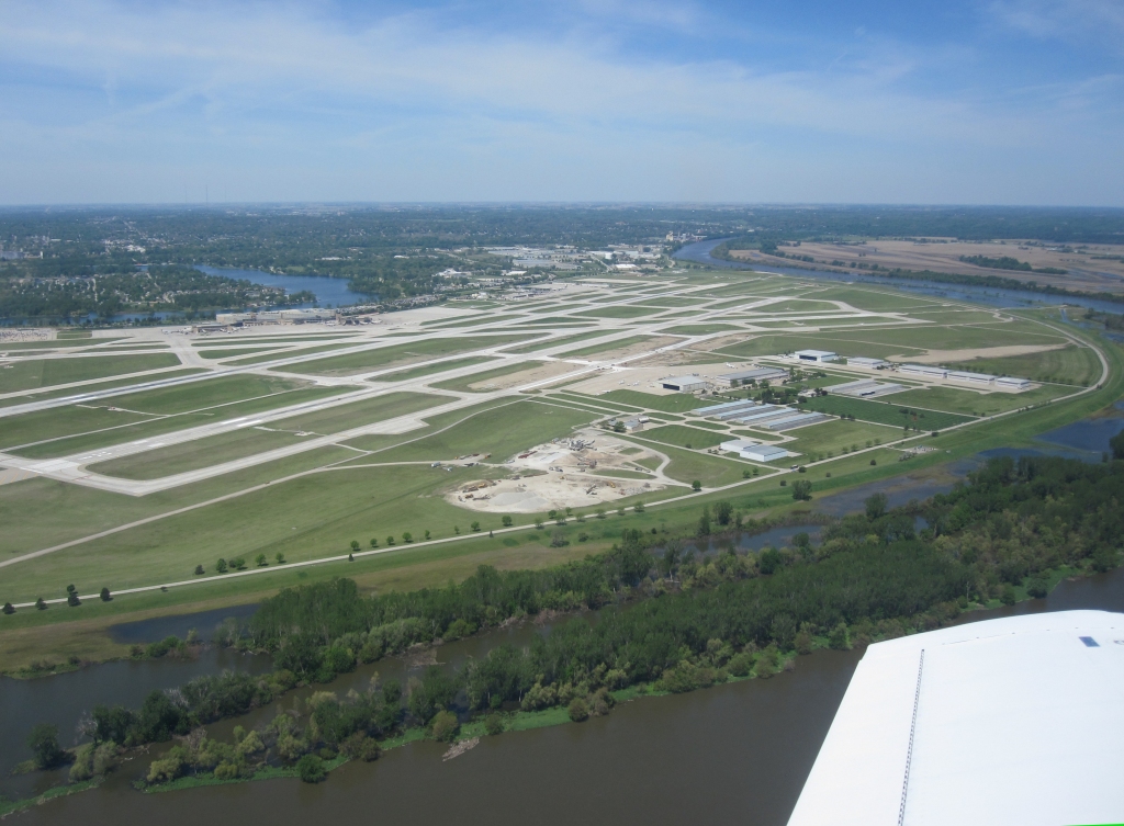 Departing Omaha, NE |
 XM weather limits approaching Regina, SK |
 Edmonton, AB Spent the night here |
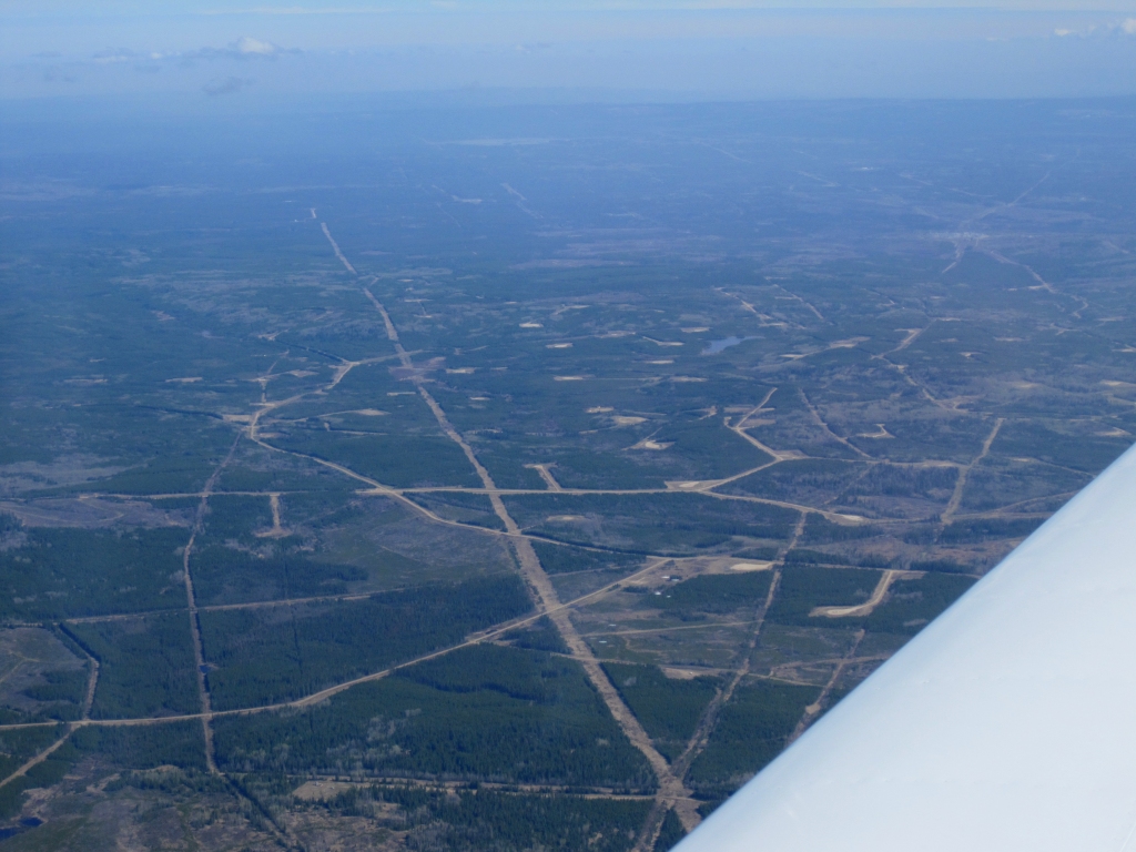 Gas wells in Alberta |
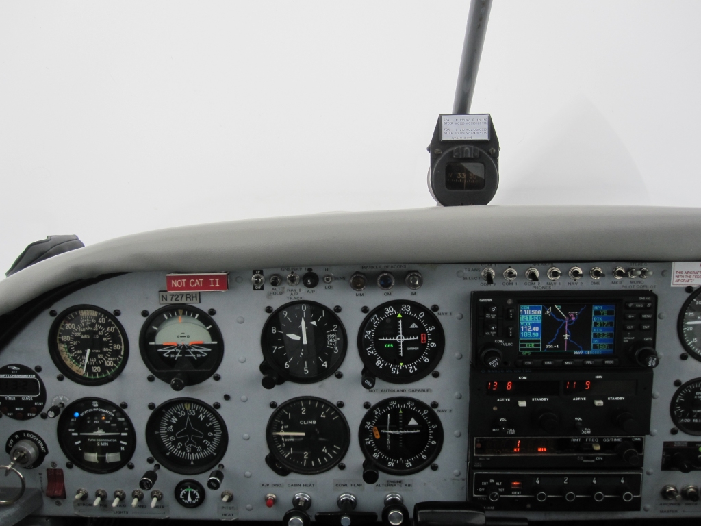 Approaching Fort Nelson in instrument conditions Smelled forest fire smoke and picked up some ice |
 Watson Lake, Yukon |
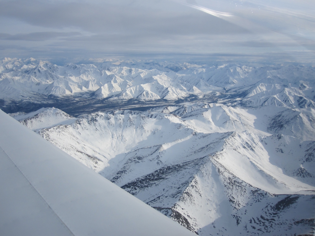
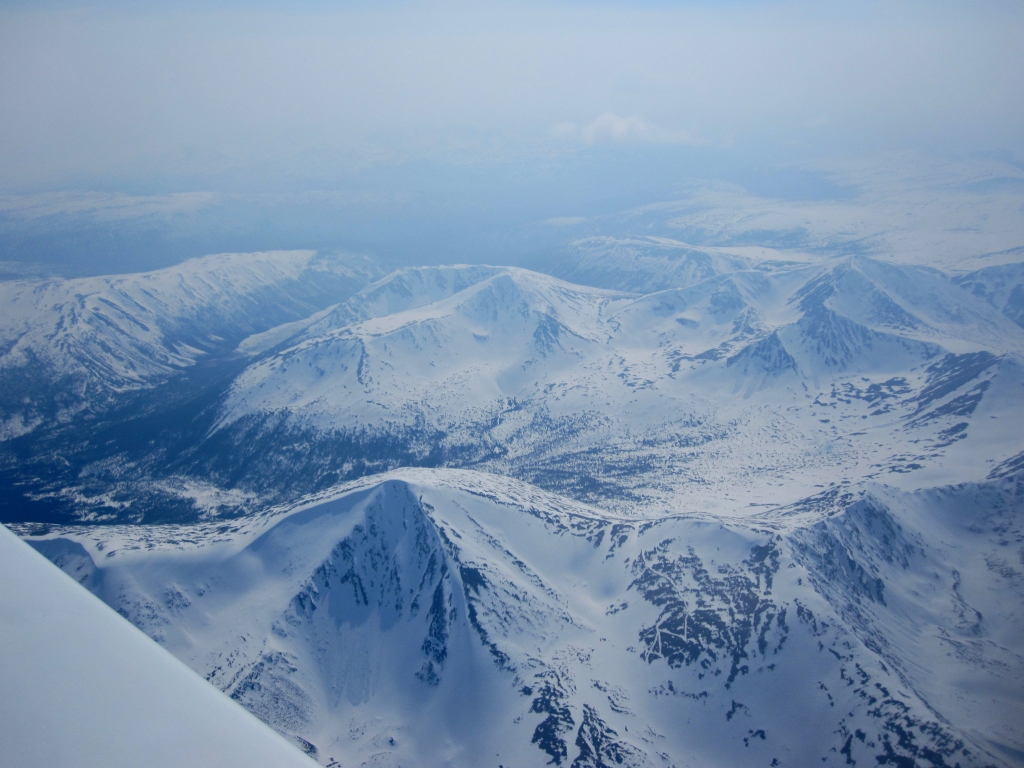 Mountains between Watson Lake and Whitehorse, YT |
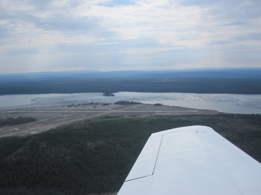
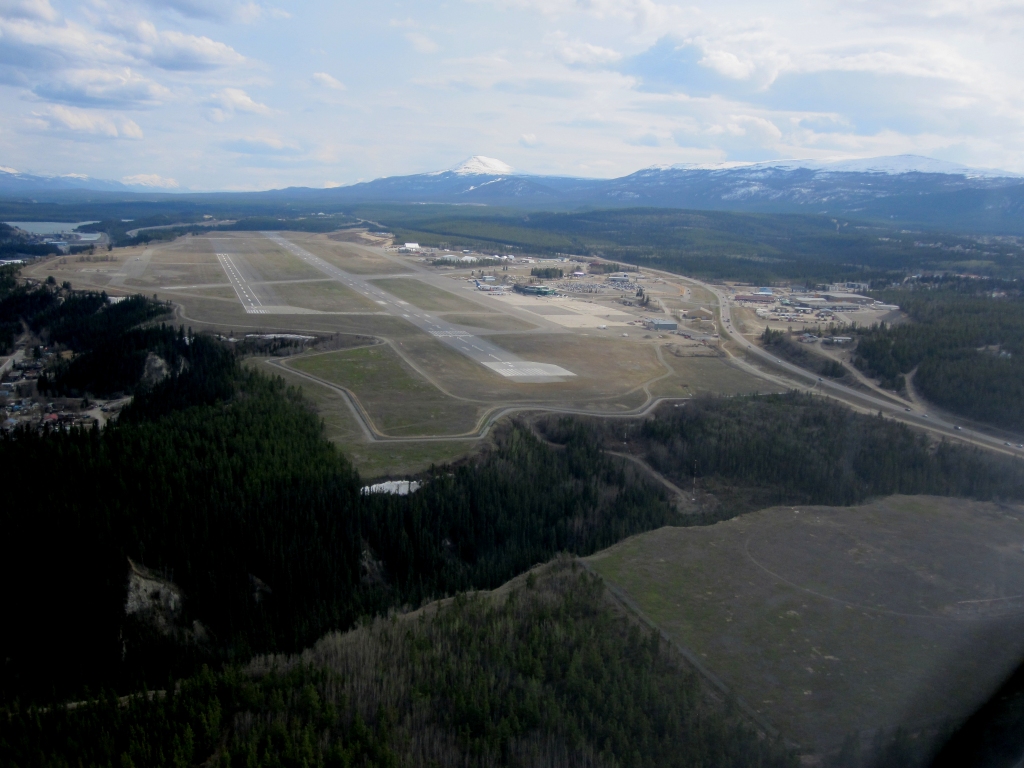 Whitehorse, YT |
 Mentasta Mountains Alaska |
 Matanuska Glacier, AK |
 Unloaded in Anchorage Memphis to Alaska in 19.9 hours / two days |
Flight South - July 23-25, 2011
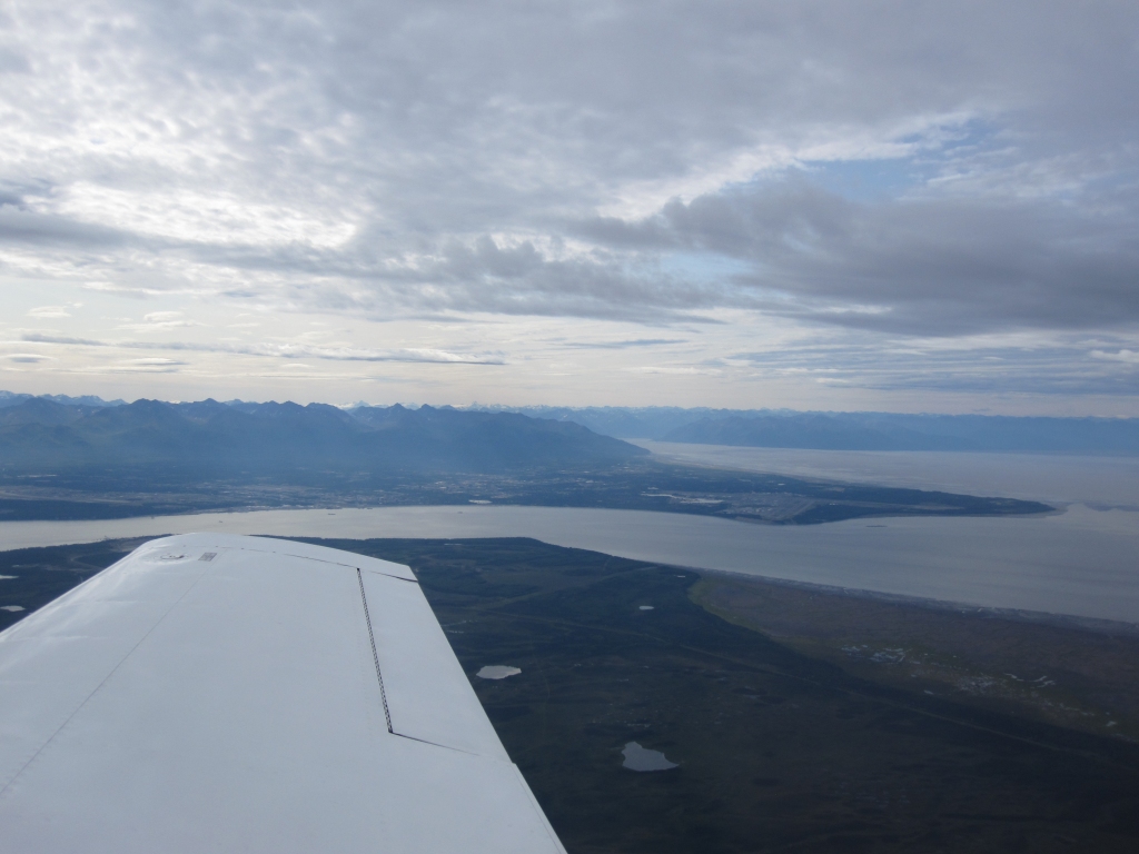 Departing Anchorage |
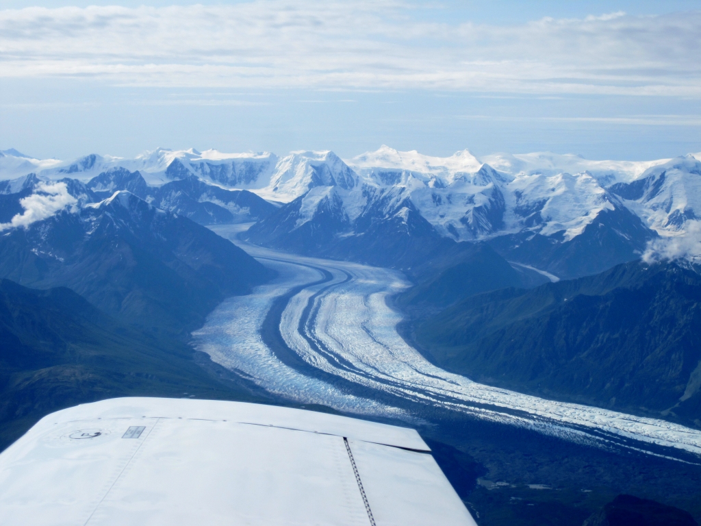 Matanuska Glacier compare the lack of snow of the photo northbound |
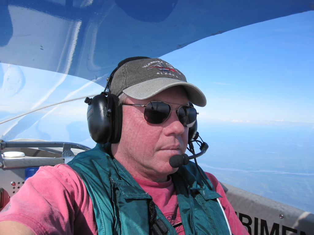 A self portrait near Gulkana, AK |
 Mt. Sanford |
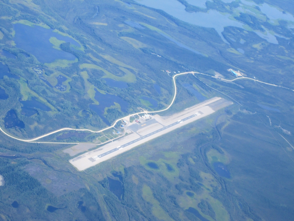 Northway, AK airport from 11,000' |
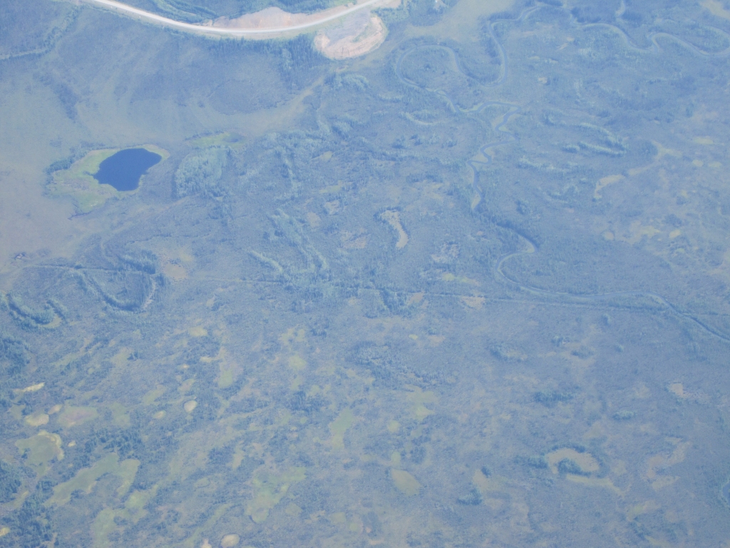 Alaska / Yukon border Alaska Highway visible on Canadian side |
 AK / YT border on the GPS |
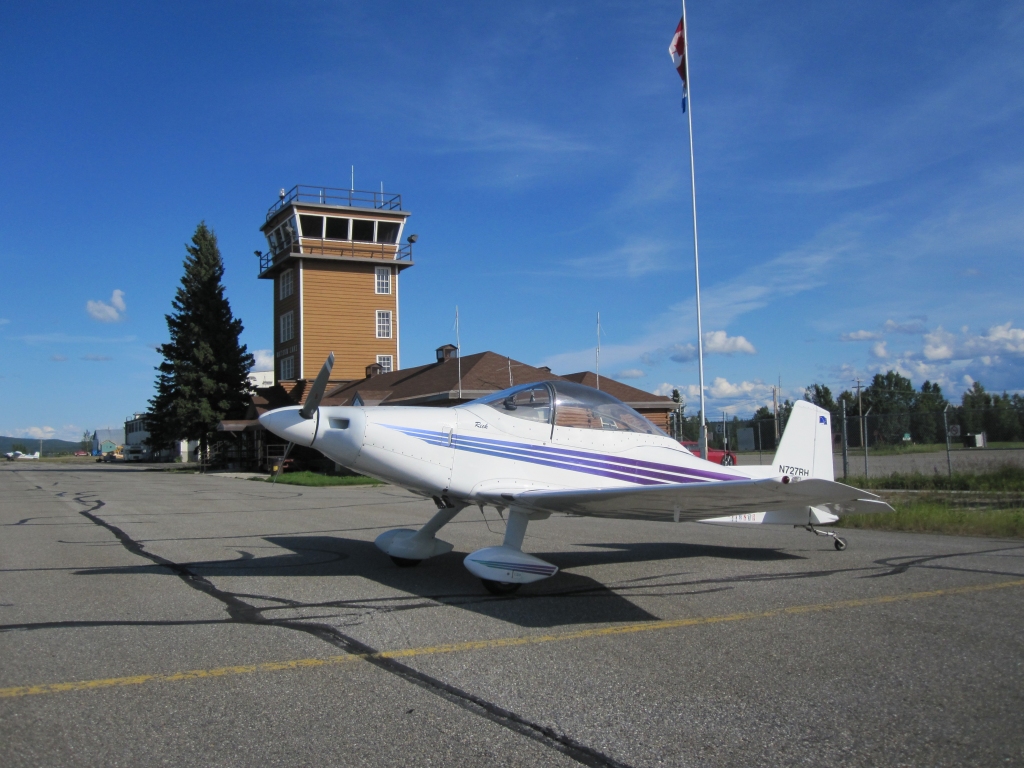
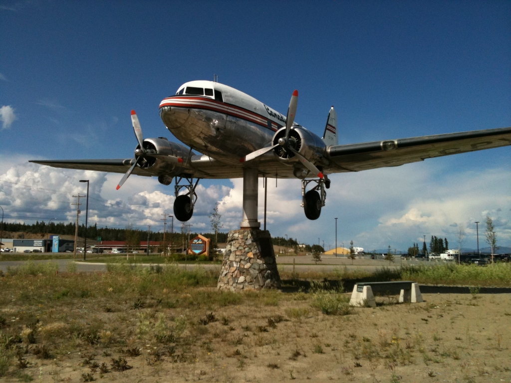 Whitehorse Airport Largest weathervane in the world - Actually pivots with the slightest breeze |
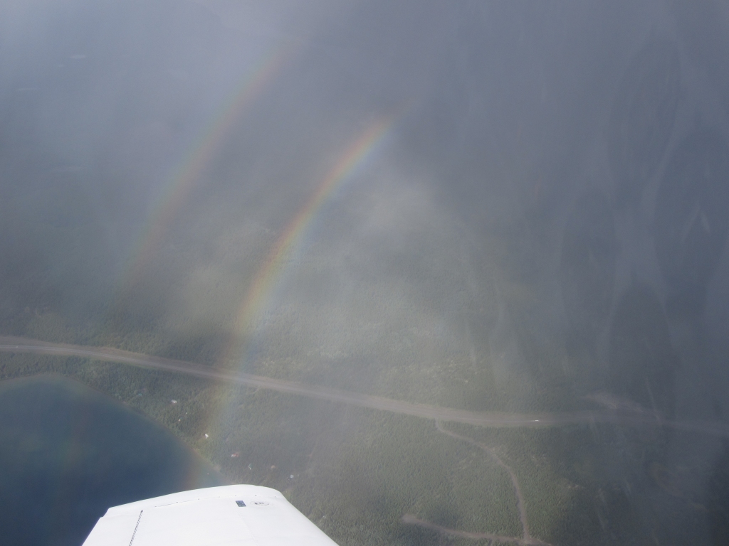 Double rainbow in showers Enroute from Whitehorse to Watson Lake |
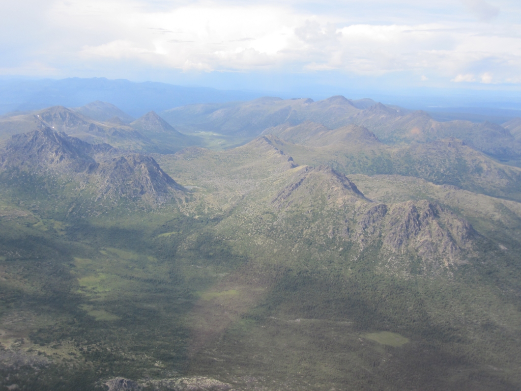 Mountains of the Yukon compare the lack of snow with the photo northbound |
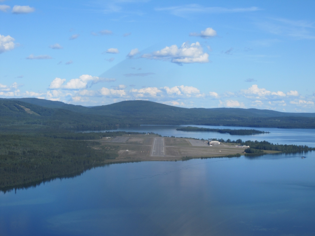 Watson lake airport, Yukon |
 Watson Lake, YT |
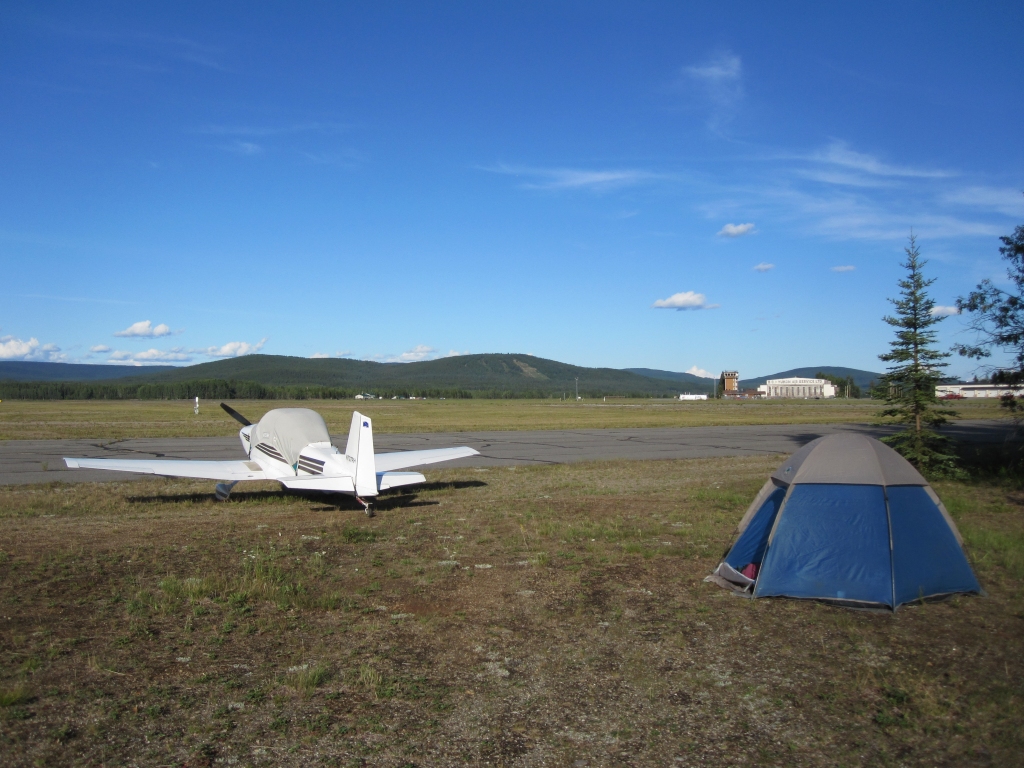 Camp at Watson Lake, YT |
 Dinner at Watson Lake camp |
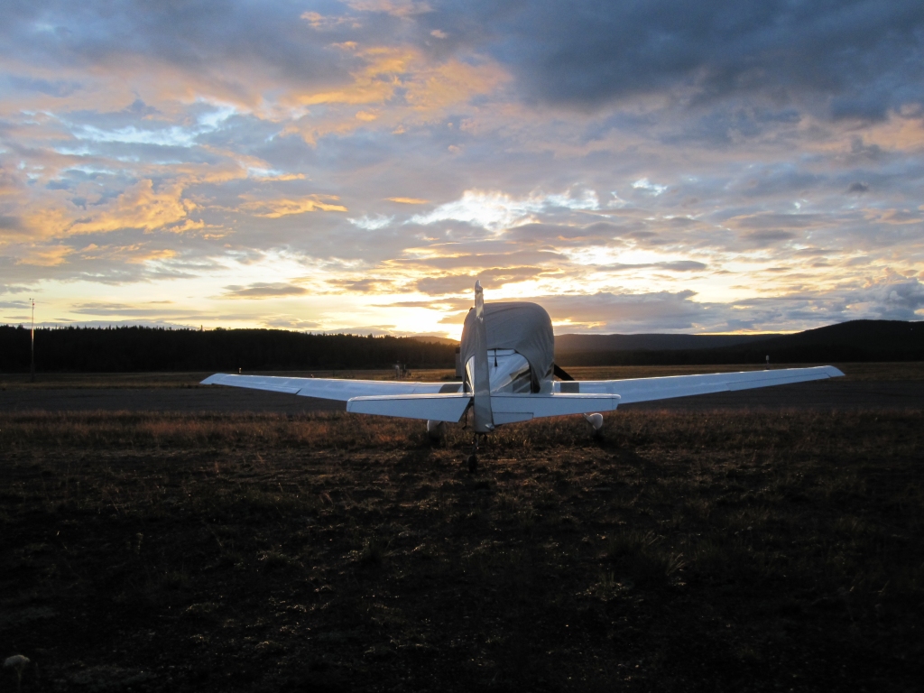
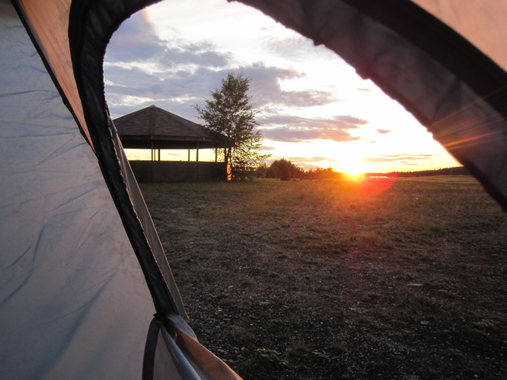 Sunset from the tent at 10:20 PM July 23 |
 Sunrise at 5:30 July 24 |
 Ft. Nelson, BC from 9,000' |
 Departing Ft. St. John, BC |
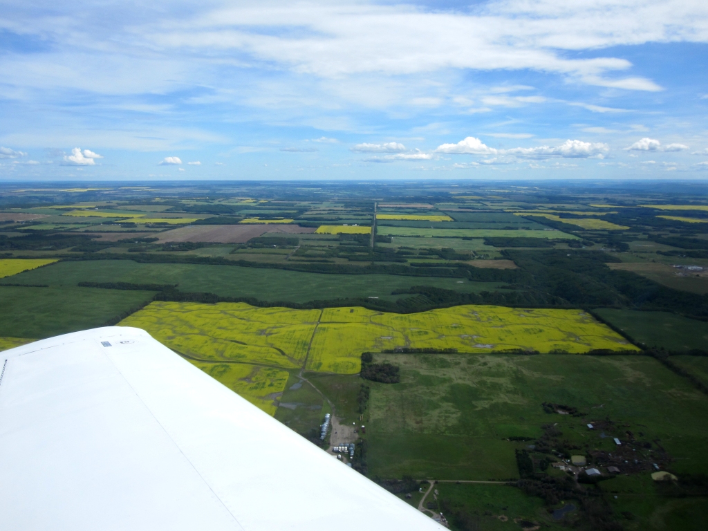
 Enroute four hours Ft. St. John, BC to Regina, SK |
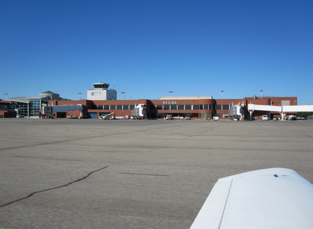 Regina, SK Spent the night here |
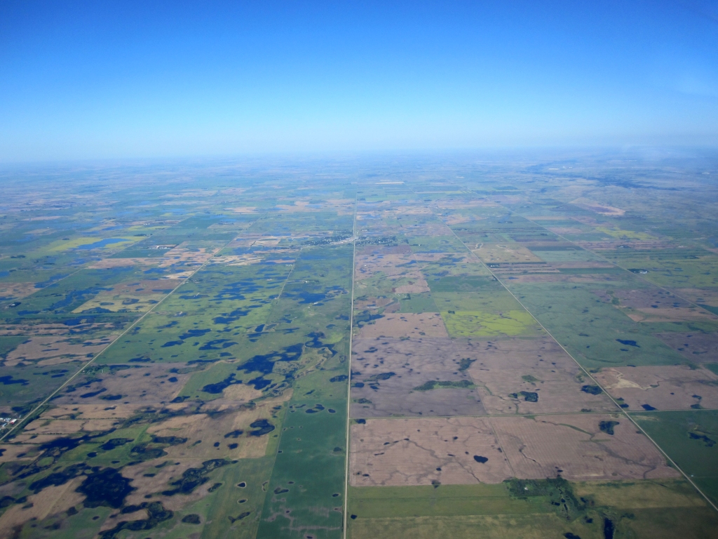 Canada / US border Canada on the left side looking east Enroute to Minot, ND |
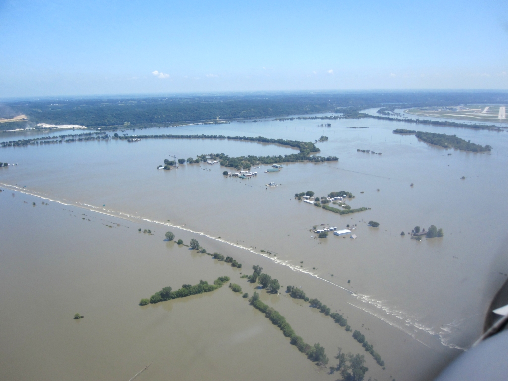 Flooding on approach to Omaha, NE |
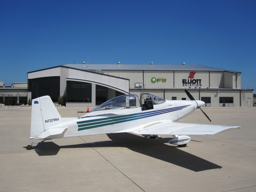 Elliott Aviation Omaha, NE I got a souvenir hat for my grandson Elliott |
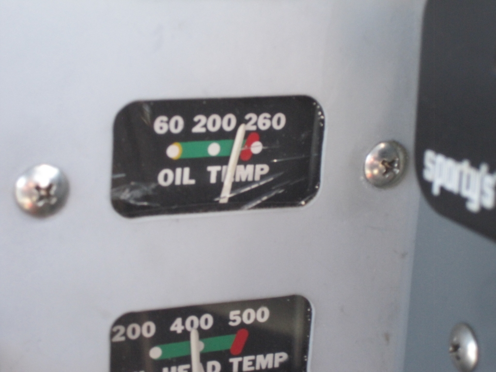 An unusually high oil temp from Omaha to Memphis kept my attention |
 Using the XM weather to avoid thunderstorms in Missouri and Arkansas |
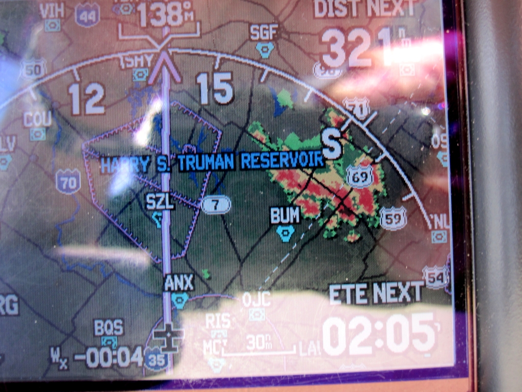 Using the XM weather to avoid thunderstorms in Missouri and Arkansas |
 Avoiding the thunderstorms 50 miles away |
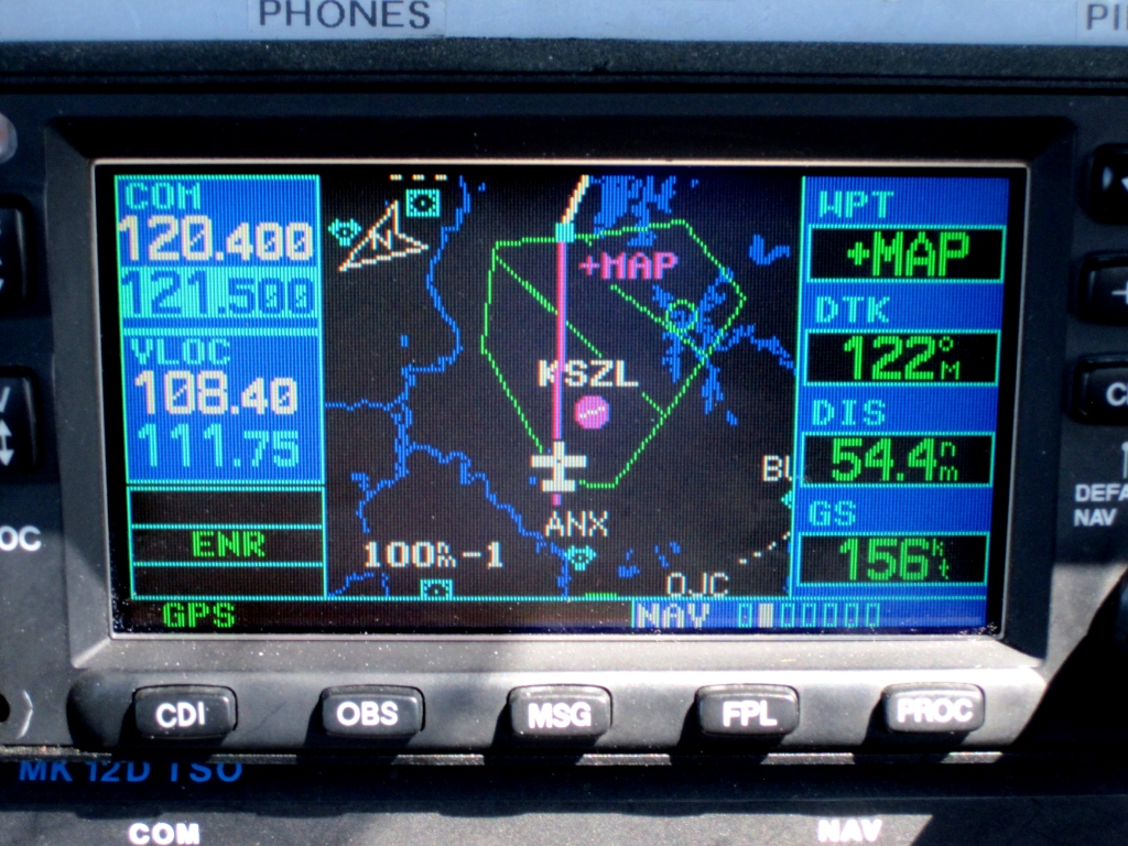 Rerouted through Military Operations Areas near Whiteman AFB, MO |
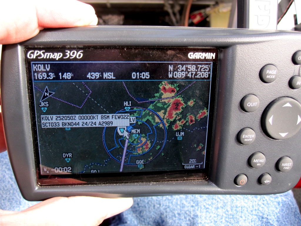 Thunderstorms in the Memphis area were not a factor when I arrived |